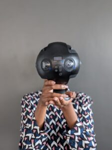
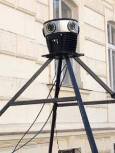
PLACE Ground is a terrestrial image platform. PLACE uses commercial mobile mapping systems (MMS) for image capture to collect optical imagery. PLACE does not collect LIDAR. These camera systems range in price from entry level to professional. Some systems automatically stitch images to create panoramas, others require the use of stitching software like Mistika VR. We also use external GNSS receivers to improve the positional accuracy of street imagery (e.g. the Bad Elf Flex).
Insta 360 Pro 2
The Insta 360 Pro 2 is a professional 360 VR camera. It can be car or backpack mounted. It can record video or still images. Still images are captured as JPEG and DNG files using a time lapse setting. The Insta360 Pro 2 can also capture video (MP4 format). An onboard GPS geotags images with Lat/Long coordinates (WGS84) with a positional accuracy of about 2.5 meters.

Mosaic 51
The Mosaic 51 is a professional 360 VR camera. It is car mounted. It records video (MP4). Still images can be extracted using image conversion software. An external GPS geotags images with Lat/Long coordinates (WGS 84) with a positional accuracy of about 1.5 meters.

Go Pro Max
NCTech Pulsar +

