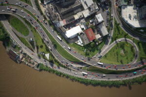
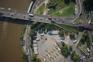
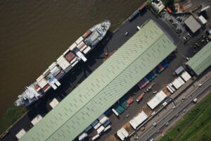
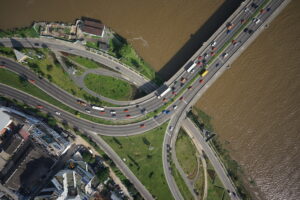
Geo-tagged aerial image collections, processed in the field are uploaded to PLACE’s Hybrid Cloud infrastructure from where they are published to PLACE’s STAC Catalog.
On an as needed basis PLACE uses photogrammetry software to generate image maps (or true orthos) from image collections. The software used includes Agisoft’s MetaShape Pro and Esri’s ArcGIS Reality.
Processing steps
The processing applied to image collections is as follows:
- Post Processing Kinematic processing in the field
- Data Upload to the Cloud
- Vetting and approval
- (Optional) Generate ortho-mosaics
- Publish to STAC Catalog


