PLACE members have access to all PLACE image assets. This primary data utility can be used for multiple use cases, from improving population estimates when combined with micro-censuses, to using machine learning to detect cars, vegetation, building outlines and road center-lines.
Derived datasets can then be used across a variety of urban and environmental planning scenarios from determining how green a city is, to assessing which communities will be most impacted by flooding. Here we describe some use cases that have been developed.
Turks and Caicos
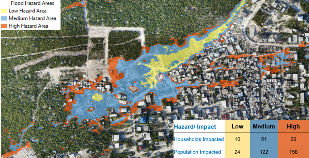
The Survey and Mapping Department and Esri used PLACE imagery to map informal settlement development on the island of Providenciales running deep learning models pre-trained on imagery from Africa, Australia and USA, to extract the building footprints for an area called Dockyard (for more details read on here). A follow-on desktop study made use of elevation information derived from UAV imagery, as well as the building outlines to determine flood hazard within the community:

Anguilla
Derived products like digital surface models and 3D meshes allow for 3D visualizations over areas of image acquisition, this video shows the downtown area of Anguilla known as the Valley:
Similarly elevation information can be used to model sea level rise (below for eastern Anguilla):
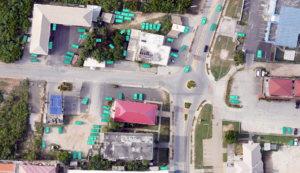
Models that detect features have also been run on the new high resolution imagery for Anguilla. Using Esri’s pre-trained deep learning models we have been able to segment cars, buildings and trees:


Côte D’Ivoire
Esri’s Orientated Image Catalog (OIC) enables pairing of aerial and street imagery so that objects in street scenes can mapped and attributed into a 2D map. You also get height and area measurement capability in street scenes.
Using paired data allows for rich Point of Interest (POI) mapping and attribution, as seen here for data collected in Abidjan:
With common tie points its also possible to merge aerial and street imagery to add facades into nadir objects in the aerial imagery as seen here for Plateau mosque in Abidjan:
