
Ground Control Points (GCPs) are measured locations (X, Y, Z) that are collected for 2 purposes:
- To improve the positionally accuracy of ortho-images; when included in image processing, GCPs typically deliver positional accuracies of 1 – 1.5 times GSD. For 5cm GSD one would expect to achieve a positional accuracy of between 8 – 10 cm when used in processing.
- To statistically validate the positional accuracy of an ortho image.
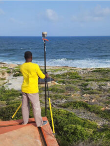

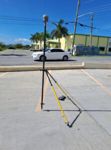
Ground Control Points are generally collected by Government.
Download a GCP Requirements document