
PLACE uses the STAC API and STAC Browser to enable members to search for the imagery it collects. PLACE’s STAC Browser can be accessed here.
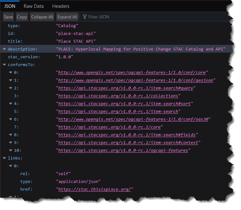
What is STAC?
STAC stands for Spatio Temporal Asset Catalog, it is open standard for indexing large raster datasets to make searching and discovery easier. For more details see here.
We currently use Radiant’s Earth implementation of the STAC Browser to enable PLACE members to search for our imagery. This is an open source implementation available on GitHub.
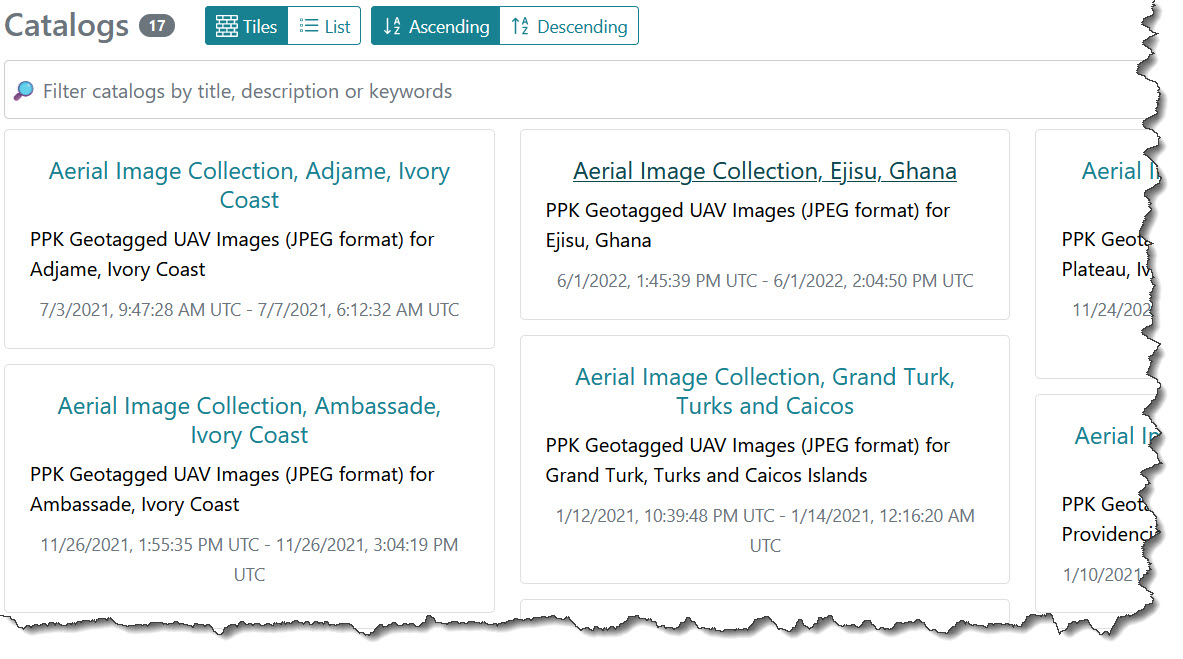
Using our Catalog
Our STAC catalog is very easy to use. You can search by location and filter images for specific areas, these images can then be downloaded for use. This short video shows how to search for images:
Creating our Catalog
Python Scripts that are run in PLACE’s private cloud create the metadata (JSON files) required by the STAC API to populate our catalog:
Whenever new imagery is collected and posted to our private cloud new metadata is created and the collection/mosaic is exposed as a card in our STAC Browser:
We back up our image repository in AWS which also provides SSL encryption.